
STATEN ISLAND, N.Y. — The New York City Emergency Management department has issued a travel advisory for Monday night into Tuesday, while a winter storm watch from the National Weather Service is also in effect citywide from 4 a.m. to 6 p.m. Tuesday.
“NYC Emergency Management has issued a travel advisory due to a significant winter storm forecasted to impact the region,” said Emergency Management Commissioner Zach Iscol. “We have mobilized a comprehensive response with our city agencies and utility partners, but while we are preparing for any eventuality, I urge New Yorkers to stay off the roads unless absolutely necessary for their safety and to allow our Sanitation Department (DSNY) crews and first responders to navigate the storm and reach those in need more quickly. Please stay informed through Notify NYC to navigate potential travel disruptions and to be able to get around safely. As always, let’s not forget to check on our family and neighbors who might need extra support at this time.”
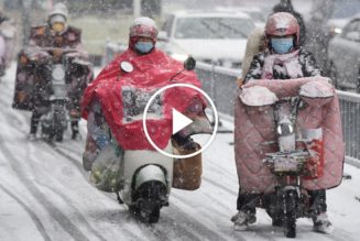
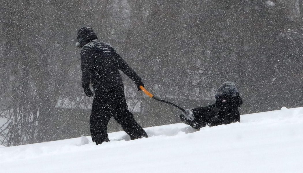
The latest National Weather Service forecast calls for the possibility of 5 to 8 inches of snow at rates of 1 to 2 inches per hour. This may result in difficult travel with low visibility, especially for the morning commute Tuesday. New Yorkers are urged to remain off the roads to allow crews to operate and respond to weather conditions.
Precipitation is expected to start off as rain around midnight. Snow will begin to mix in around 3 a.m. to 4 a.m., before transitioning to all snow around 7 a.m. to 8 a.m. Snowfall will be heaviest toward daybreak and steadily continue through the morning, ending in the early afternoon.
Northeast winds of 30 to 40 mph are also expected Tuesday morning into the afternoon, reducing visibility due to blowing snow. Widespread minor coastal flooding is also possible during high tides Tuesday morning. Tides are expected to peak around 11 a.m. in the New York Harbor and Jamaica Bay, and around 2 p.m. in the Long Island Sound.
Emergency Management has proactively activated the city’s Winter Weather Emergency Plan in response to the forecasted conditions. This includes conducting coordination calls with the National Weather Service and city and state agencies and utility partners, and bolstering staffing at the emergency operations center, which is already operational due to the city’s ongoing asylum seeker operations.
Alternate side parking regulations will also be suspended Tuesday. Payment at parking meters will remain in effect throughout the city. In addition, the Sanitation Department will be issuing a snow alert and is pre-deploying over 700 salt spreaders to pretreat roadways ahead of the first snowflake and is prepared to dispatch plows in all sectors when more than two inches of snow accumulate, the city said.
“With several inches of snow, poor visibility on the roads, and possible coastal flooding heading our way, New Yorkers should prepare in advance of tomorrow’s storm and take the necessary precautions to remain safe,” said New York City Mayor Eric Adams. “All relevant city agencies have been activated and are prepared to handle whatever comes our way, but we’re asking New Yorkers to do their part, too. If you do not have to be on the roads tomorrow, please stay home, and, if you’re a property owner, remember to clear your sidewalks.
ADDITIONAL STORM COVERAGE:
>> NYC weather: These forecast maps show timeline of snow storm
>> NYC Catholic elementary schools closed Tuesday for traditional snow day
>> NYC public schools will be remote Tuesday with snow storm in forecast: Mayor Adams