Britain’s best long-distance footpaths provide excellent access to the UK’s outdoors while showcasing the finest scenery our isles have to offer
When you think of the best long-distance hiking trails from around the world, little old Britain probably wouldn’t top of your list. Hikers will more likely be drawn to the Triple Crown of the Appalachian, Continental Divide and Pacific Crest trails in the US, New Zealand’s Great Walks or the famous Annapurna Circuit and Everest Base Camp treks in Nepal.
However, the UK does have an extensive network of long-distance footpaths. Managed by the National Trails in England and Wales and Scotland’s Great Trails north of the border, the UK has thousands of miles of tramping to be discovered – and the network continues to expand.
We take a look at Britain’s best long-distance footpaths and what they have to offer.
Britain’s best long-distance footpaths
There is no formal definition of a long-distance footpath. Typically, around the world, it will be at least 50km (30mi) long. However, the British Long Distance Walkers Association defines long-distance footpaths as “20 miles [32km] or more in length and mainly off-road.”
Our selection of Britain’s best long-distance footpaths greatly exceeds these definitions.
1. Pennine Way
Location: England
Distance: 431km (268mi)
Duration: 16-20 days
Start: Edale, Derbyshire
Finish: Kirk Yetholm, Scottish Borders
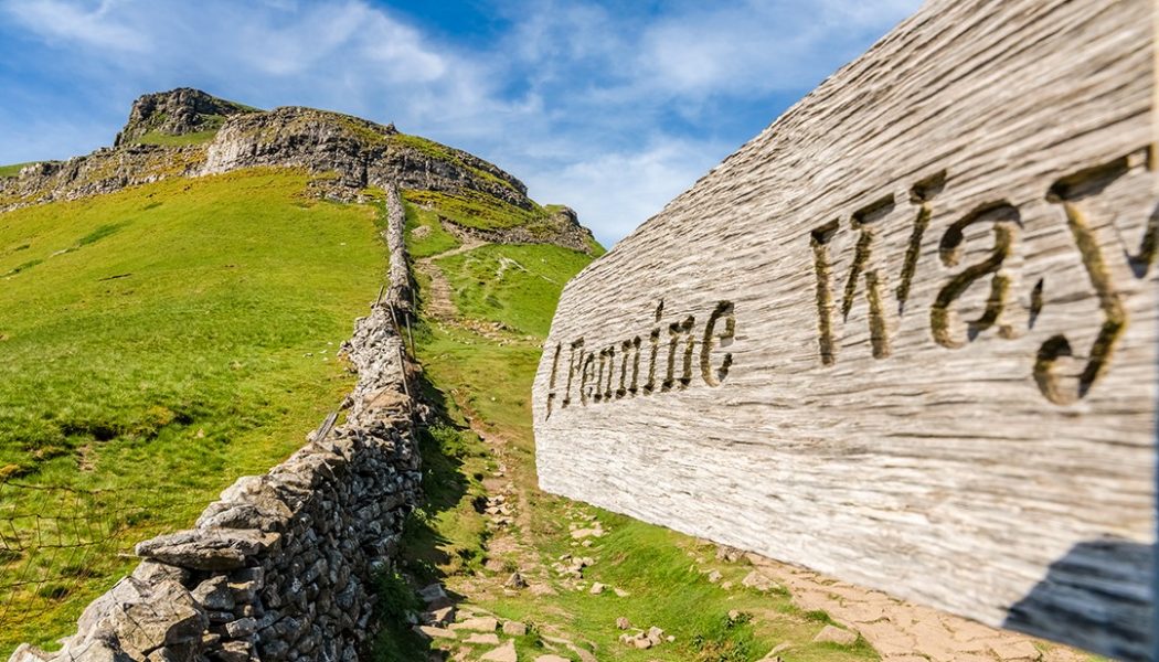
Britain’s oldest trail (opened in 1965) traverses some of the finest upland landscapes in England. It is by far the most famous and one of the most popular of Britain’s footpaths.
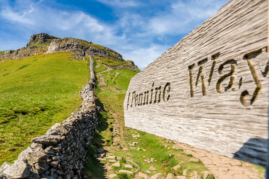
Starting in the relatively moderate hills of the Peak District, the trail runs northwards through the Yorkshire Dales, across the North Pennines and over Hadrian’s Wall and the Cheviot Hills in Northumberland National Park.
The route varies from marching along clearly defined paved surfaces to crossing vague and persistently wet peat bogs. Wet socks aside, the route showcases the wildest, prettiest and most remote inland scenery in England.
More info: nationaltrail.co.uk
2. West Highland Way
Location: Scotland
Distance: 154km (96mi)
Duration: 5-8 days
Start: Milngavie (Glasgow)
Finish: Fort William
The Scots call their long-distance footpaths ‘Great Trails’ – a worthy name for Britain’s wildest mountain scenery. Scotland’s first long-distance footpath opened in 1980 and takes in some of the country’s most famous terrain including Loch Lomond & The Trossachs National Park, Glen Coe and Rannoch Moor.

It’s possible to incorporate climbs of Ben Lomond and/or Ben Nevis (the UK’s highest mountain) on the trail. Hikers can even call off at a distillery en route – and why not, you would have earned it.
Scotland’s oldest long-distance footpath is also its busiest. It is used widely by visitors during the more popular months between April and September so don’t expect to have the trail to yourself.
More info: scotlandsgreattrails.com
3. Wales Coast Path
Location: Wales
Distance: 1,400 km (870mi)
Duration: 45-60 days
Start: Chepstow, Monmouthshire
Finish: Queensferry, Flintshire
Not an official National Trail, but deserving of a place among Britain’s best long-distance footpaths, the Wales Coast Path incorporates the 299km (186mi) Pembrokeshire Coast Path.
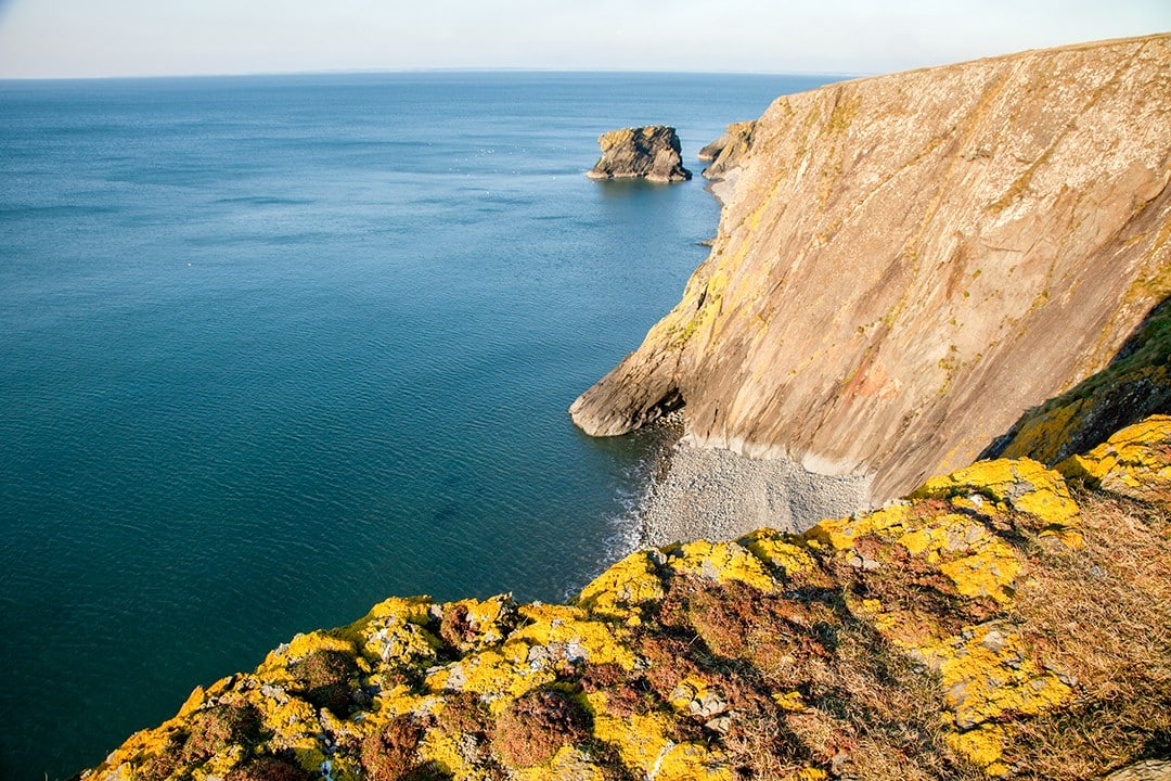
The path runs through two national parks (Snowdonia and Pembrokeshire Coast), three areas of outstanding national beauty and through or near to dozens of nature reserves, historic sites and heritage coasts.
Over time, the Wales Coast Path is expected to be linked with Offa’s Dyke Path which loosely follows the Wales-England border. This would create a 1,660km 1,030mi) continuous footpath practically encompassing the whole of Wales.
More info: walescoastpath.gov.uk
4. Hadrian’s Wall Path
Location: England
Distance: 135 km (84mi)
Duration: 6-7 days
Start: Wallsend
Finish: Bowness-on-Solway
The coast-to-coast footpath traces the final ‘frontier of the Roman Empire’ and World Heritage Site, Hadrian’s Wall. With a high point of only 345m (1,130ft), the scenery may not be as mountainous as some others on this list, but it is no less spectacular.
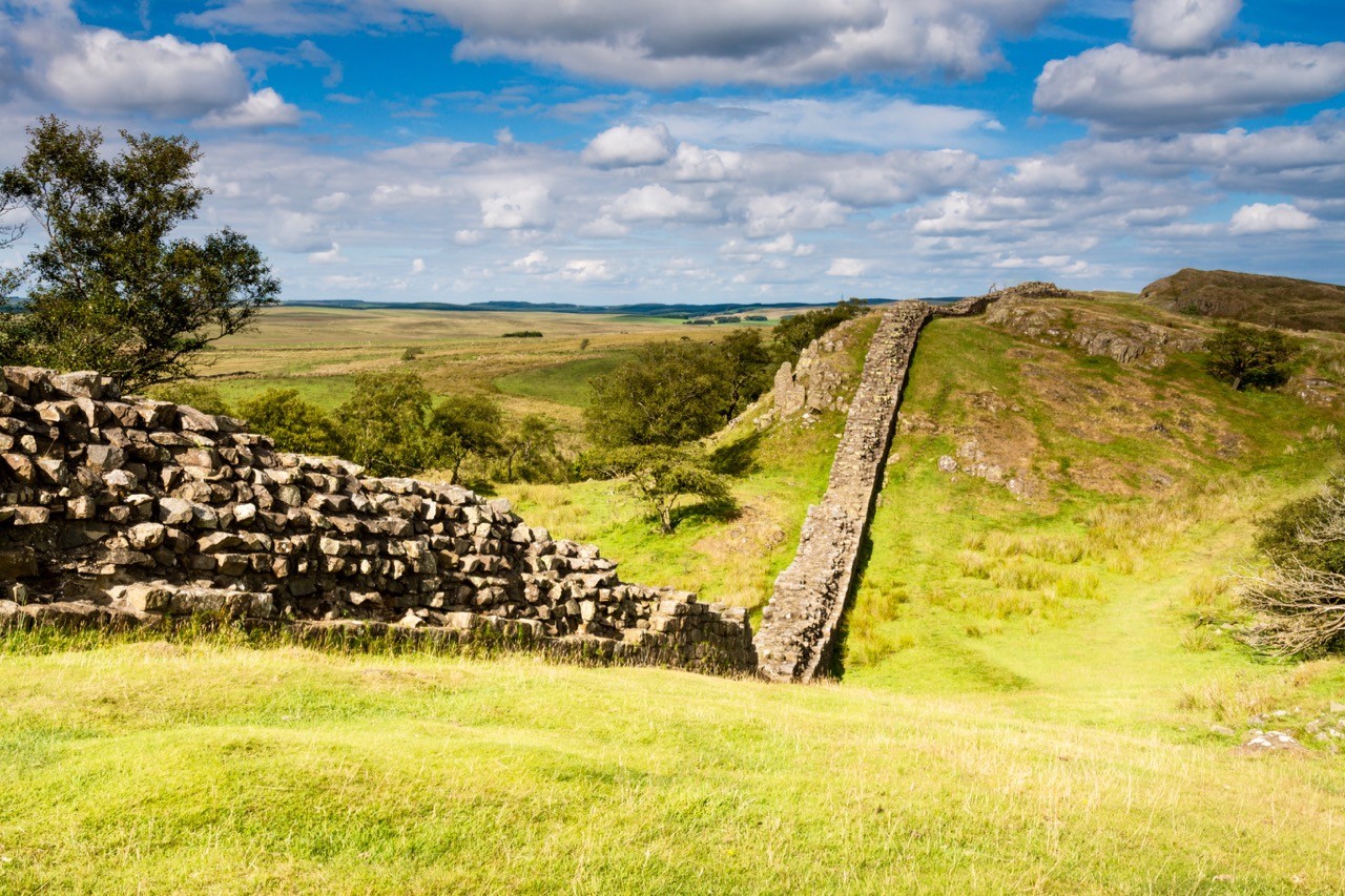
There is history to be found along every step of the footpath. The defensive fortification in the Roman province of Britannia signified the northern limit of the Roman Empire. Construction began in 122 AD under the reign of the emperor Hadrian to keep out the ‘Barbarians’ from the north.
The path follows Roman settlements and forts across England through the least populated parts of England and Wales, regularly dipping into historic market towns and sleepy villages.
More info: nationaltrail.co.uk
5. Southern Upland Way
Location: Scotland
Distance: 338km (210mi)
Duration: 12-16 days
Start: Portpatrick
Finish: Cockburnspath
Opened in 1984, the Southern Upland Way was Britain’s first officially recognised coast-to-coast long-distance footpath.
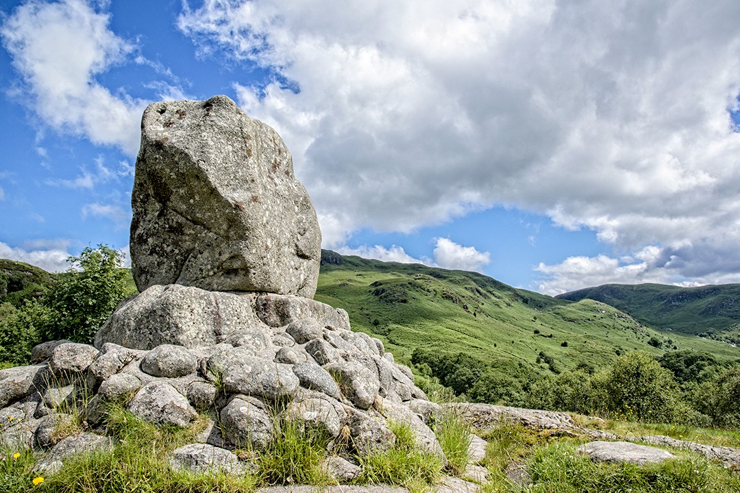
The Southern Upland Way is a challenging, uncompromising and remote footpath that cuts across a range of terrain. It was designed that way. The footpath curves over the the hills, rather than following the line of least resistance along valley floors.
As such, the sheer range of scenery on offer is astounding. Mountains, forests and long stretches of desolate moorland must be negotiated, as well as a great deal of hill climbing and, at the start and finish, some rugged coastal walking, making this one of Britain’s best long-distance footpaths.
More info: southernuplandway.gov.uk
6. Cotswold Way
Location: England
Distance: 164km (102mi)
Duration: 5-7 days
Start: Bath
Finish: Chipping Campden
A quintessential English experience, the Cotswold Way is really a gentlemen’s long-distance footpath, offering an undemanding stroll through the countryside as opposed to a footslog up a boggy trail to a windswept summit.
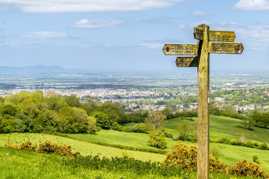
The route hugs the western border of the Cotswolds Area of Outstanding Natural Beauty along what is known as the Cotswold escarpment. En route, idyllic viewpoints, wildflower meadows, picturesque villages and a significant number of historic sites break the trail.
The most demanding sections involve negotiating a fiddly lock on a gate, deciding which tearoom to try and whether to spread jam or cream onto your scone first.
More info: nationaltrail.co.uk
7. Coast-to-Coast Walk
Location: England
Distance: 309km (192mi)
Duration: 12-15 days
Start: St Bees, Cumbria
Finish: Robin Hood’s Bay, North Yorkshire
Neither a national trail nor a singular footpath, the unofficial but mostly signposted Coast-to-Coast Walk passes through three of England’s finest national parks: Lake District, Yorkshire Dales and the North York Moors.
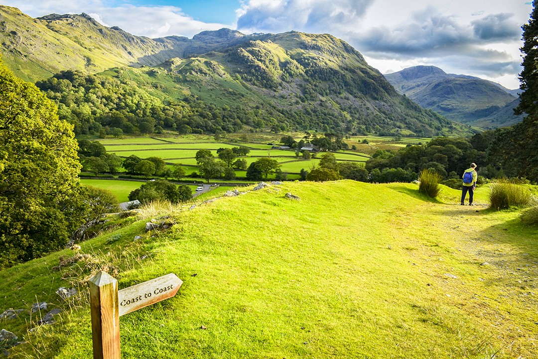
Devised and popularised by Alfred Wainwright who recommends walkers dip their booted feet in the Irish Sea at St Bees and, at the end of the walk, in the North Sea at Robin Hood’s Bay.
Despite its unofficial status, the Coast-to-Coast Walk is one of the most popular of Britain’s best long-distance footpaths. In 2004, it was named the second-best walk in the world behind only the Milford Track in New Zealand.
More info: Visit Cumbria / The Wainwright Society
8. The Great Glen Way
Location: Scotland
Distance: 125km (78mi)
Duration: 5-7 days
Start: Fort William
Finish: Inverness
This delightful Scottish highlands walk running mostly alongside lochs and the Caledonian Canal offers sensational views over Loch Ness and the Great Glen. The Great Glen Way runs the entire length of Scotland’s longest glen, largely following the Caledonian Canal.
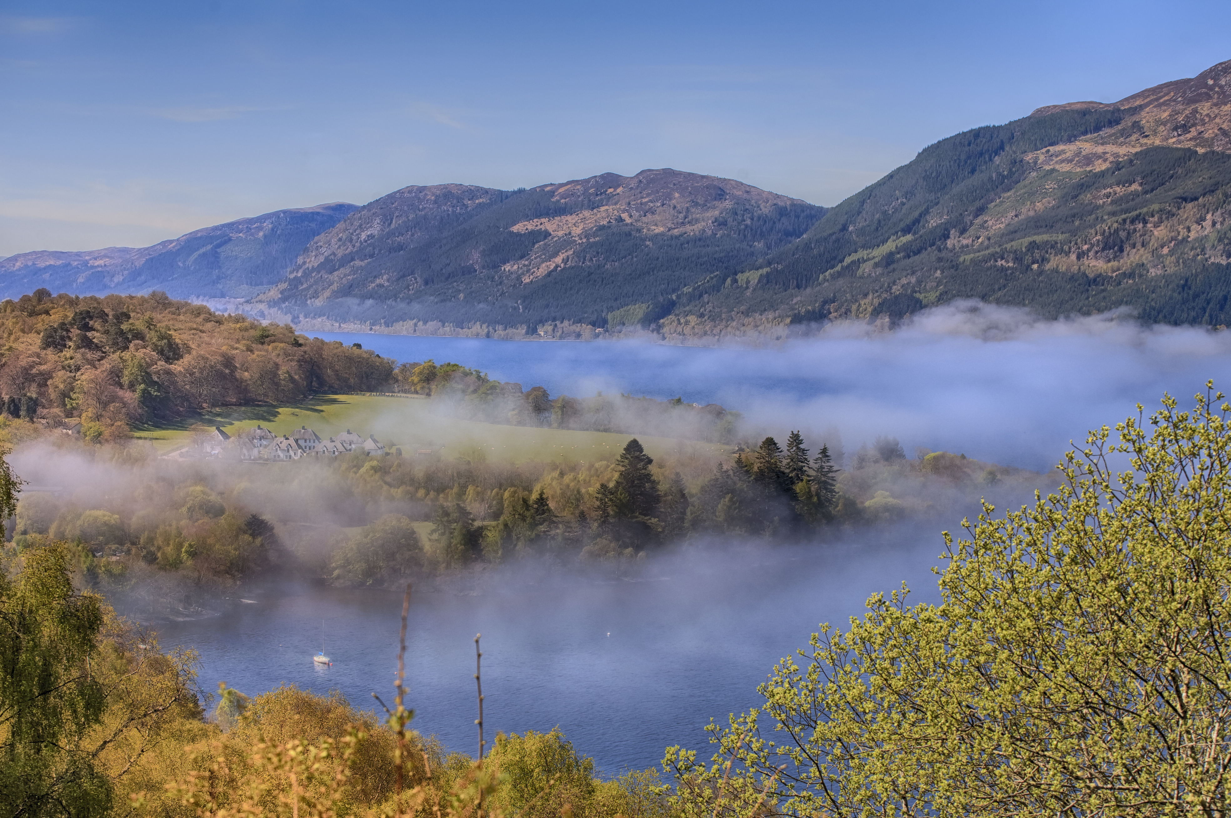
The trail is along sturdy, well-defined footpaths and tracks with not a single stile to negotiate. It’s possible to hike the footpath without a map or guidebook, relying solely on the superb waymarking instead.
One of the most impressive sights en route is the amazing feat of engineering that is Neptune’s Staircase. Here, the canal rises by 19m (62ft) in a series of steps spread over 55m (180ft) of continuous masonry, all overlooked by the magnificent Ben Nevis. It’s a good spot for lunch or to pause and watch a boat travel up or down the loch (if you have around 90 minutes to spare that is).
More info: highland.gov.uk
9. Two Moors Way
Location: England
Distance: 188km (117mi)
Duration: 6-8 days
Start: Wembury
Finish: Lynmouth
The Two Moors Way is an unofficial trail that crosses the outstanding moorlands of Dartmoor and Exmoor. It’s a different take on the coast-to-coast experience with the trail crossing from the North Devon to the South Devon coast.
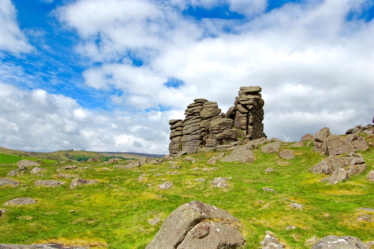
The original trail went from Ivybridge on the southern boundary of Dartmoor National Park to Lynmouth. However, it was recently extended, linking to trails running from Wembury on the South Devon coast.
I’ve always enjoyed hiking in Dartmoor National Park as it’s the only area in England, Wales and Northern Ireland where wild camping is officially legal. Almost half of the park is moorland and with its somewhat barren landscape it’s easy to see why it was the setting for Sir Arthur Conan Doyle’s classic crime novel The Hound of the Baskervilles featuring detective Sherlock Holmes.
Exmoor National Park feels a little less wild. It has similar terrain to Dartmoor, but where Dartmoor is entirely inland, Exmoor enjoys the high cliffs and rugged coastline of the Bristol Channel.
More info: twomoorsway.org
10. John Muir Way
Location: Scotland
Distance: 215km (134mi)
Duration: 9-11 days
Start: Helensburgh
Finish: Dunbar
Named in honour of the Scottish-born conservationist, John Muir, who was born in Dunbar in 1838 and went on to become a founder of the US National Park Service, the John Muir Way crosses the heartland of Scotland.
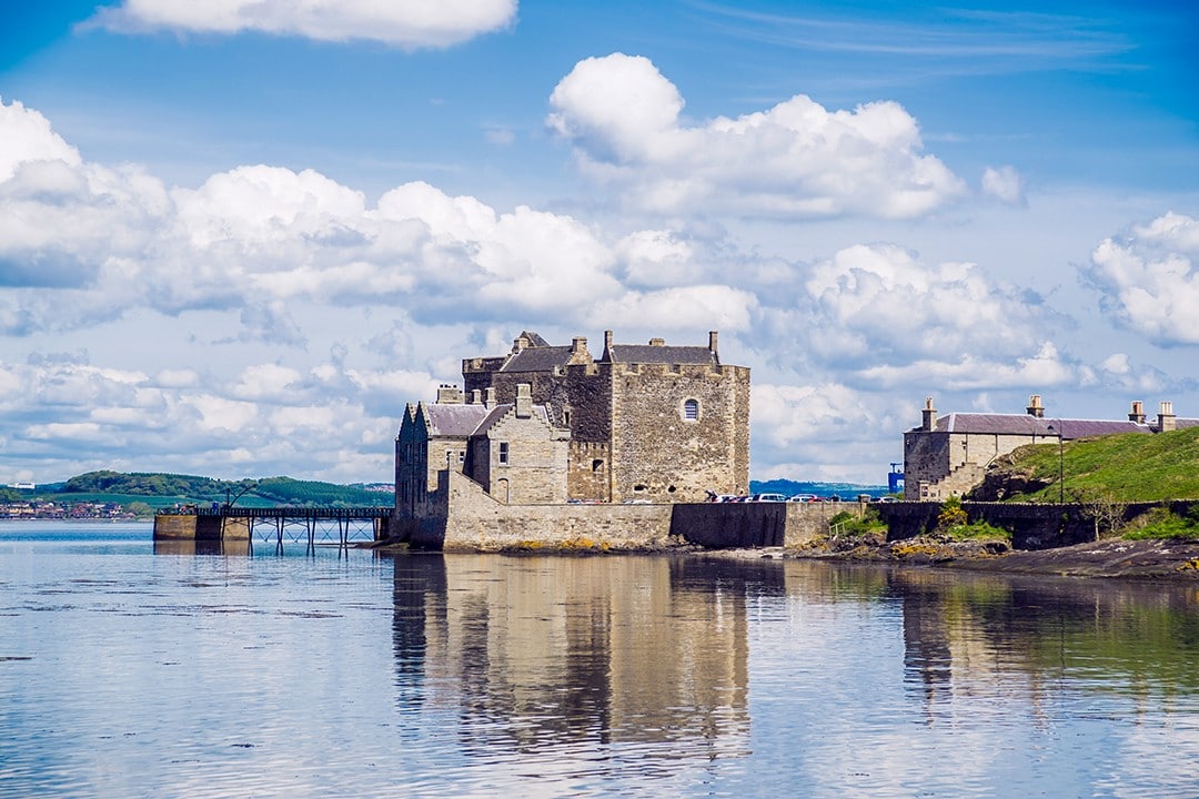
The route, only completed in 2014, takes in many of the Central Belt of Scotland’s most well-known sights including Loch Lomond & The Trossachs National Park, the Roman Antonine Wall, the three Forth bridges and the capital city of Edinburgh.
The trail features a wide range of terrain and scenery, from highland tracks in the west, through rolling pastures, canal towpaths, country parks and copse, to rugged cliffs and beaches on the eastern coast.
More info: johnmuirway.org
11. South West Coast Path
Location: England
Distance: 1,014km (630mi)
Duration: 35-45 days
Start: Minehead
Finish: Poole Harbour
The South West Coast Path is currently England’s longest hiking trail. The total height climbed over the course of the hike has been calculated as 35,031m (114,931ft), almost four times the height of Mount Everest.
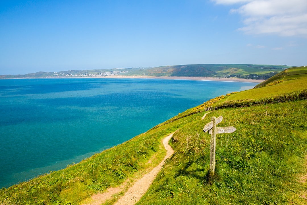
In 2016, I hiked the 135km (84mi) section between Newquay and Penzance and can attest to the challenging and unrelenting elevation changes along cliffs that continuously rise and fall for river mouths and inlets.
The trail runs from Minehead in Somerset along the coasts of Devon and Cornwall to Poole Harbour in Dorset, meaning there are plenty of opportunities to pause for a bag of fish and chips or a dip at some of the best beaches in England.
More info: southwestcoastpath.org.uk
12. England Coast Path
In progress
Location: England
Distance: 4,500km (2,795mi)
Duration: TBC
Start: Berwick-upon-Tweed
Finish: Gretna Green
The England Coast Path, currently in progress, will follow the entire coastline of England, making it the longest waymarked coastal route in the world.
Beginning in Berwick-upon-Tweed, the northernmost town in England, the footpath will be split into four sections: North East, South East, South West and North West.
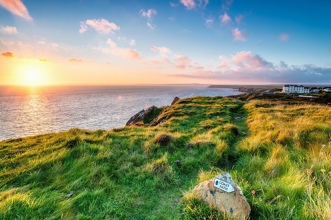
The first three sections will be completely continuous, stretching around the English coastline to the Welsh border. Here, walkers can join the Wales Coast Path or arrange transport to the final North West section. This section will be detached from the rest of the footpath and run from the Welsh border to the Scottish Border near Gretna Green.
The England Coast Path will incorporate many of the existing coastal footpaths in England including much of the South West Coast Path, surely making it one of Britain’s best long-distance footpaths.
More info: nationaltrail.co.uk
Enjoyed this post? pin it for later…
