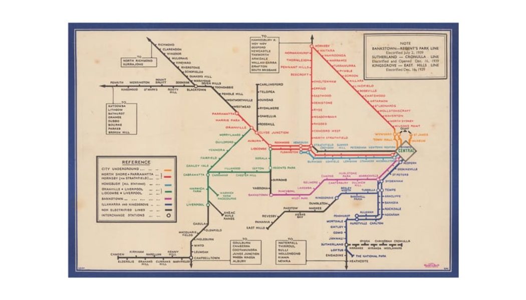
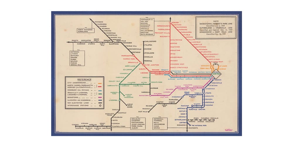
A new exhibition staged at The Map House brings the history of the iconic London Underground to the surface. Located in Knightsbridge, Mapping the Tube: 1863–2023 charts the many evolutions of the world’s first underground railway. An ode to urban history, the exhibition celebrates the cultural and cartographic impact of the Tube map, as cities around the globe would follow in its footsteps.
Mapping the Tube chronicles 160 years of cartographic development, spanning from the opening of the Metropolitan Line in 1863 to the present day. Designer and draftsman Harry Beck published the first version of the pocket map in 1933, and while he only received £5.25 GBP (approximately $22.26 USD today) for his creation, that financial road block didn’t hinder his passions for tinkering on the maps for decades to come. By day, Beck worked as an engineer which gave him the idea for a circuit board-like design, emphasizing ideas of connection over distance and geographical accuracy.
Though the map initially read like spaghetti to some, the designs vibrant criss-crossing lines caused a significant shift in the perception of the city — the Underground map would reveal a hidden world right under Londoners’ feet. In addition to the exhibition, the rare collection of posters, schematic drawings, manuscripts, and words will be available for sale.
Head to The Map House to check out Mapping the Tube: 1863–2023 on view from October 25 through November 20, 2024 to catch a glimpse of London’s transport history.
The Map House
54 Beauchamp Pl,
London SW3 1NY